Aurvandil/Imperial Cartographique Institution

From BattleMaster Wiki
< Aurvandil
Revision as of 23:35, 19 April 2012 by Mendicant (talk | contribs)
(diff) ← Older revision | Latest revision (diff) | Newer revision → (diff)
Jump to navigation Jump to search
By order of his Imperial August the High Sovereign, in order to spread the knowledge and understanding of the Anhangaphlia geography the Imperial Cartographique Institution records the chorography, topography and demography as decreed by the High Sovereign.


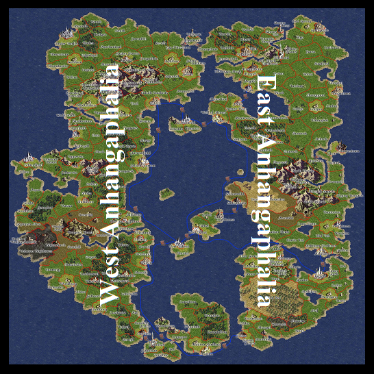
Anhangaphalia


File:WestAnhangaphalia.png
Western Anhangaphalia


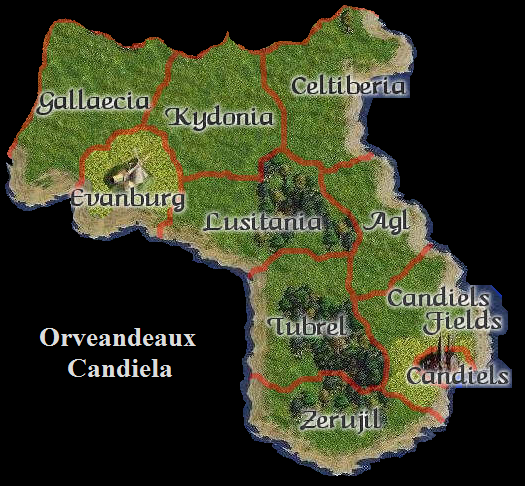
Orveandeaux Candiela


Mendicontinental Territories


File:EastAnhangaphalia.png
Eastern Anhangaphalia