File:GlobalMap.jpg
Original file (2,400 × 2,400 pixels, file size: 1.91 MB, MIME type: image/jpeg)
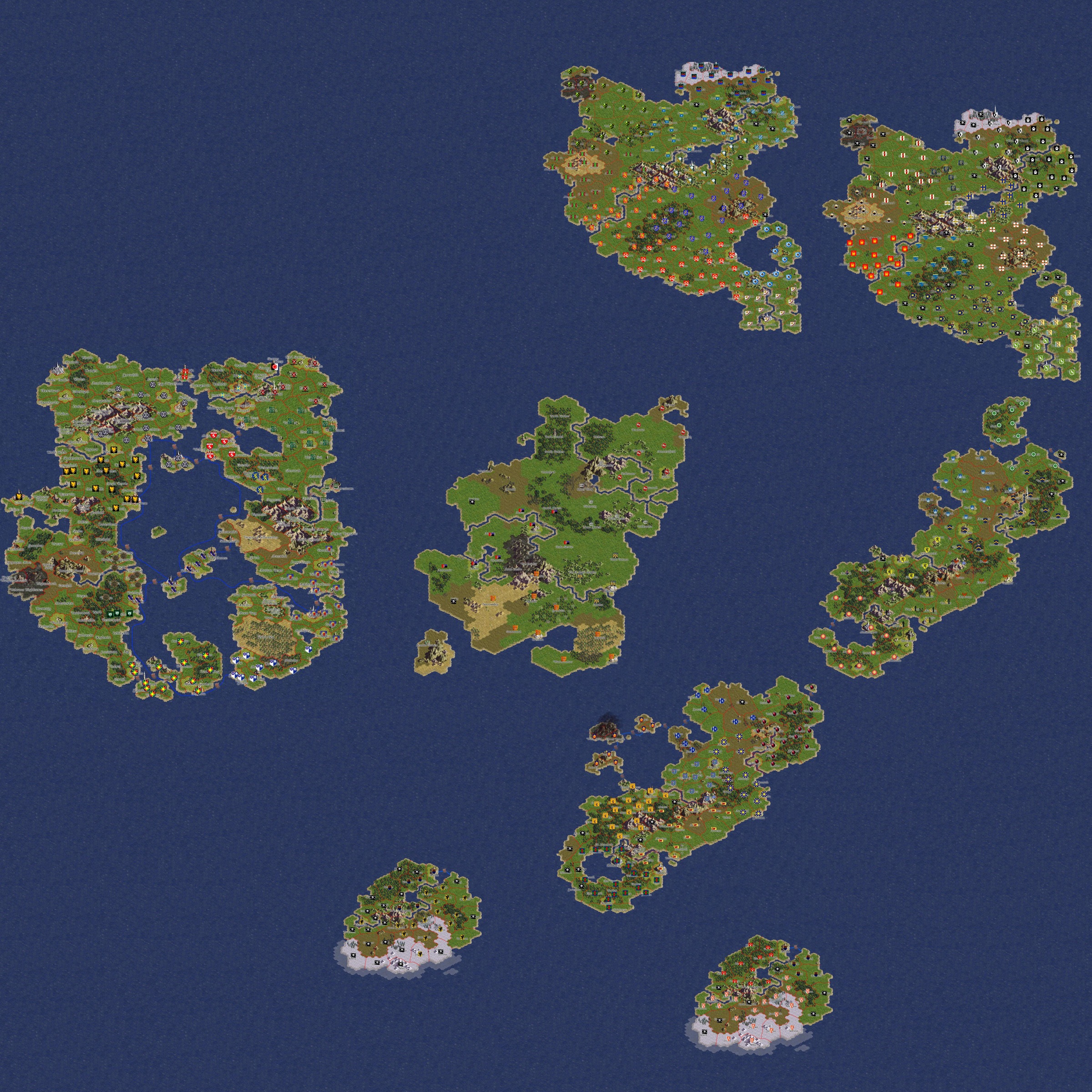
This is an attempt at situating all the islands in relation to each other. Some islands had given positions: East Continent, Far East Island, Dwilight (originally "West Continent"), SEI/SWI, but Atamara, Beluaterra, and the Colonies had no fixed location. I tried to do climatic matching in terms of where wintry places were and where deserts were, but Atamara was challenging to place, as the Talerian desert is comparatively very close to the Norse lands, while the Dwilight and Colonies deserts show temperate lands yet further north.
I did my best, but folks are more than welcome to suggest alterations.
File history
Click on a date/time to view the file as it appeared at that time.
| Date/Time | Thumbnail | Dimensions | User | Comment | |
|---|---|---|---|---|---|
| current | 20:00, 16 April 2010 | | 2,400 × 2,400 (1.91 MB) | Vellos (talk | contribs) | This is an attempt at situating all the islands in relation to each other. Some islands had given positions: East Continent, Far East Island, Dwilight (originally "West Continent"), SEI/SWI, but Atamara, Beluaterra, and the Colonies had no fixed location. |
- You cannot overwrite this file.
File usage
There are no pages that use this file.