File:SevenRiversMap.png
Jump to navigation
Jump to search

Size of this preview: 800 × 573 pixels. Other resolutions: 320 × 229 pixels | 1,200 × 860 pixels.
Original file (1,200 × 860 pixels, file size: 1.38 MB, MIME type: image/png)
Summary
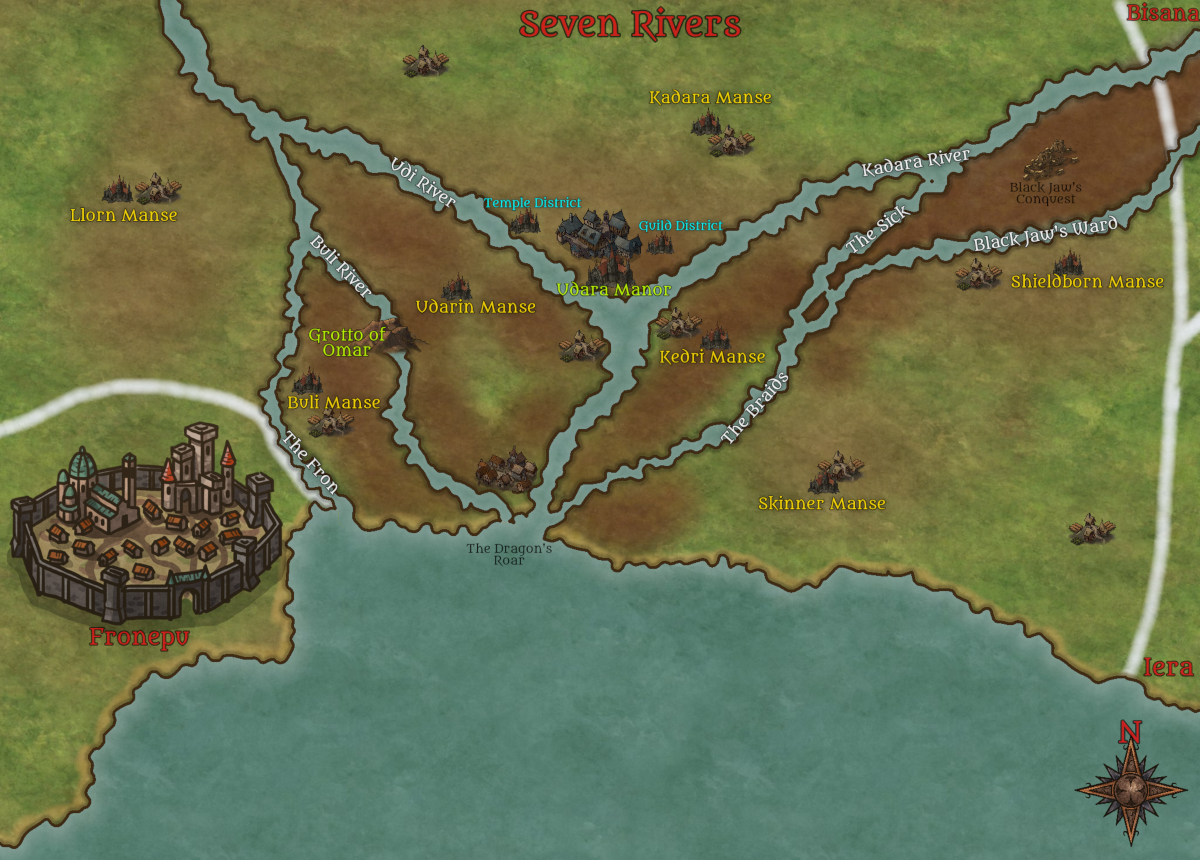
Map of the Seven Rivers Region
File history
Click on a date/time to view the file as it appeared at that time.
| Date/Time | Thumbnail | Dimensions | User | Comment | |
|---|---|---|---|---|---|
| current | 09:27, 4 January 2021 | | 1,200 × 860 (1.38 MB) | Steve2609 (talk | contribs) | |
| 09:04, 4 January 2021 |  | 960 × 720 (869 KB) | Steve2609 (talk | contribs) | 720HD Scale | |
| 09:01, 4 January 2021 |  | 800 × 573 (700 KB) | Steve2609 (talk | contribs) | Made the lands around the rivers more swampy/marshy, and simplified the area around the main town | |
| 20:57, 26 December 2020 |  | 1,200 × 860 (1.4 MB) | Steve2609 (talk | contribs) | Map of the Seven Rivers Region |
- You cannot overwrite this file.
File usage
The following page uses this file: